 Photo: Wikimedia contributors · See source
Mae Klong, Amphawa & Phetchaburi Coast
Follow Mahachai, Mae Klong, Amphawa and Phetchaburi to Cha-am on a three-day upper-Gulf loop.
- Allow
- 3 days
- Route
- 338 km
- Drive time
- 5 hr 16 min
- Stops
- 7
Southwest of Bangkok, urban estuary towns give way to coconut canals and the salt-edged upper Gulf. Mahachai is a working port, Mae Klong’s market folds around a live railway, and Amphawa deserves an overnight so its canal can be read beyond the busiest visitor hour.
Phetchaburi adds palace hill, temple craft and a substantial old town before the road touches Cha-am. Market calendars, train times and tides matter more than a rigid sequence. Park away from tracks and waterfront lanes, then explore on foot or by a licensed local boat.
The road, in one glance
Pinch or scroll with Ctrl / ⌘ to zoom
Drawing the route…
The route earns
its distance
Each pin is selected as a place to do something—not merely proof that you passed through.
- 01Western Bangkok Gateway
- 02Mahachai
- 03Mae Klong Railway Market
- 04Amphawa
- 05Tha Kha Floating Market
- 06Phra Nakhon Khiri
- 07Cha-am
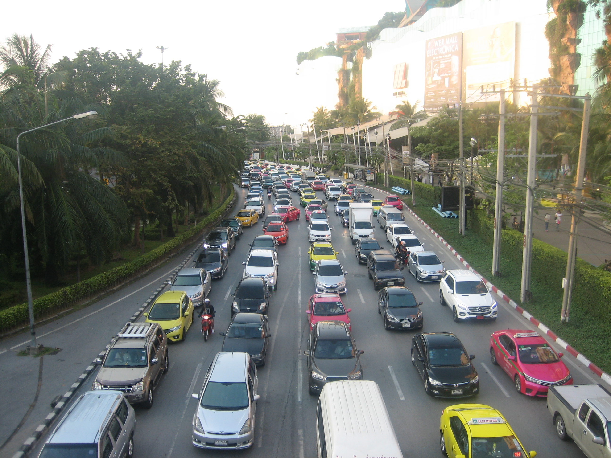 Photo: Wikimedia contributors · See source
Western Bangkok Gateway
The roadbook begins beyond central Bangkok’s dense sightseeing and parking environment.
Bang Khae is one of the 50 districts (khet) of Bangkok, Thailand. Its neighbouring districts, clockwise from north, are Thawi Watthana, Taling Chan, Phasi Charoen, Bang Bon, and Nong Khaem district.
 Photo: Wikimedia contributors · See source
Mahachai
A busy seafood market and Tha Chin River port reveal the working upper Gulf.
Samut Sakhon is a city in Thailand; it is the capital of Samut Sakhon province. It is also part of the Bangkok Metropolitan Region.
 Photo: Wikimedia contributors · See source
Mae Klong Railway Market
Stalls retract from a functioning railway as scheduled trains pass through town.
The Maeklong Railway (also known as the Mae Klong Railway) is a 1,000 mm (3 ft 3+3⁄8 in) metre gauge railway that runs for nearly 65 kilometres (40 mi) between Wongwian Yai, Bangkok, and Samut Songkhram in central Thailand. The railway became famous for its route through the Maeklong Railway Market, nicknamed (Thai: ตลาดร่มหุบ; RTGS: Talat Rom Hup), meaning the "umbrella pulldown market".
Photo: Wikimedia contributors · See sourceAmphawa
Timber shopfronts and evening food gather along a narrow canal and its footbridges.
Amphawa Floating Market is a floating market and a tourist attraction in the Amphawa District of Samut Songkhram Province, located in one of the branches of the Mae Klong river. Amphawa district is about 50 km away from Bangkok (less than one hour and a half travel time), making Amphawa floating market a popular tourist attraction in Thailand.
 Photo: Wikimedia contributors · See source
Tha Kha Floating Market
A smaller coconut-country market offers a quieter counterpoint when its calendar aligns.
Tha Kha is a small morning floating market in the orchard-and-canal country of Samut Songkhram province. Vendors still trade fruit, cooked dishes and local produce from wooden boats, giving the stop a quieter rural character than the larger evening market at Amphawa.
 Photo: Wikimedia contributors · See source
Phra Nakhon Khiri
A nineteenth-century palace complex crowns Phetchaburi’s Khao Wang hill.
Phra Nakhon Khiri (Thai: อุทยานประวัติศาสตร์พระนครคีรี) is a historical park in Phetchaburi, Thailand on a hill overlooking the city. The name Phra Nakhon Khiri means 'holy city hill', but locals know it better as Khao Wang, meaning 'hill with palace'. The park consists of three building groups on the three peaks of the 95 m hill.
 Photo: Wikimedia contributors · See source
Cha-am
A broad beach town makes an easy final night before the return north.
Cha-am is a district (amphoe) in the southern part of Phetchaburi province, western Thailand, forming the northern section of the Cha-am–Hua Hin coastal conurbation. The district was established in 1897 with the name Na Yang. In 1914 the centre of the district was moved to Ban Nong Chok (now in Tha Yang district and its name was changed to Nong Chok.
Drive the conditions,
not the itinerary.
Start at Bangkok’s western edge, not the historic center. Check market days and rail times, use formal lots and never drive, stand or photograph from a live railway alignment.
Checked against
the people who run it
Distances and driving times are planning estimates. Conditions, closures, ferries, permits and park rules can change, so check the linked official guidance before setting out.